Walking regions in Wales
North Walesnorth
Eryri (Snowdonia)
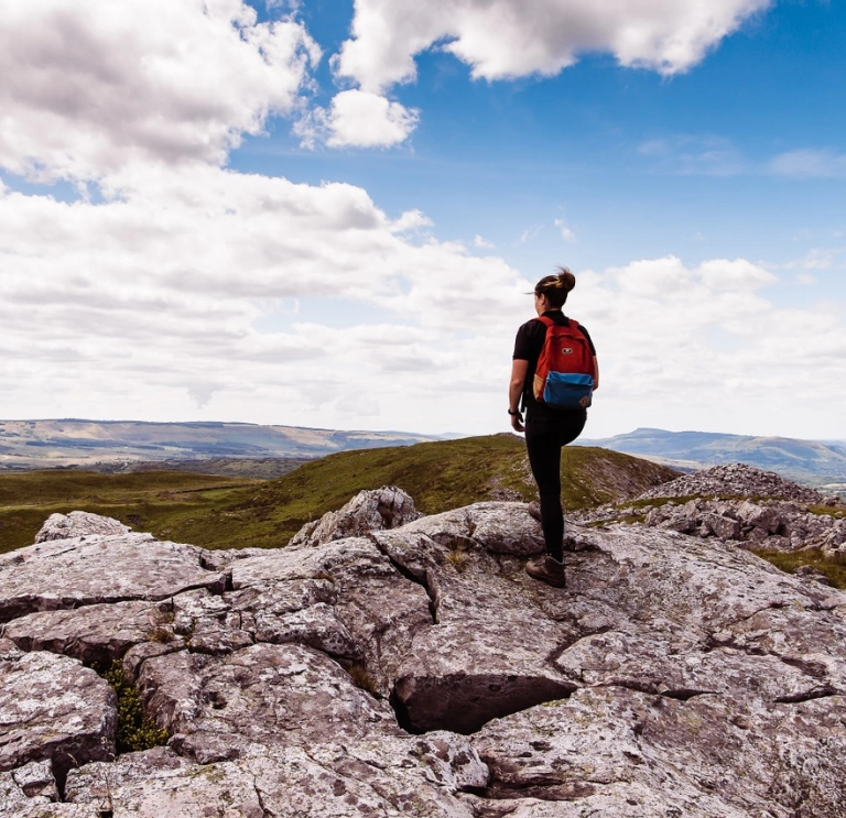
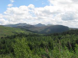
When you think of walking in Wales, it’s Eryri (Snowdonia) that first springs to mind. And with good reason – our biggest National Park is all about high mountains, glacial lakes and dense forests. In other words, it’s perfect walking terrain. Everyone wants to bag Yr Wyddfa (Snowdon) itself (you can cheat by catching a train to the top of our highest mountain) but there are dozens of other peaks within several distinct ranges.
If you decide to take on Yr Wyddfa (Snowdon) by foot, plan ahead by downloading the Llwybrau’r Wyddfa / Snowdon Walks App. This useful app covers the six main routes, providing maps and tracking your progress.
Once they’ve ticked off that off, seasoned walkers will head for the Carneddau and Glyderau, Arenig, Moelwynion or Rhinogydd ranges to enjoy splendid isolation on their own favourite summit. If you want to avoid the crowds, the best time of the year is spring or autumn.

Explore the rest of North Wales
The mighty Eryri (Snowdonia) tends to overshadow neighbouring areas, which fully deserve exploring in their own right. There’s the heather-clad moorland of Hiraethog around Llyn Brenig, and the Clwydian Range to the east. The Llŷn Peninsula has a spine of jagged volcanos (all extinct, thankfully), while Anglesey is great for geotrails and coastal walks. Talking of which, the Wales Coast Path runs around the whole coastline.

Walking holiday providers in North Wales
Mid Walesmid
Bannau Brycheniog walking routes
The south of the region is dominated by the Bannau Brycheiniog (Brecon Beacons) National Park, which is made up of three distinct ranges. The actual Beacons themselves include Pen y Fan, the highest point in southern Britain. They’re flanked by the quietly magnificent Black Mountain range and, rather confusingly, the Black Mountains (plural) that fall away towards England. And if that’s not enough superb walking terrain, you can add the geological wonders of the Fforest Fawr Geopark.
Accommodation in the Bannau Brycheiniog


Explore the rest of Mid Wales
To the north, there’s the Berwyn Range, where Cadair Berwyn is the highest peak outside our National Parks. To the east, the Offa's Dyke Path runs through the softer landscape of the borderlands. Heading across Wales is Glyndŵr's Way, winding through remote valleys and over rolling hills. To the west, the Ceredigion Coast Path runs along the curve of Cardigan Bay.

Walking the Cambrian Mountains
And finally, there’s the middle bit: the vast, empty green spaces of the Cambrian Mountains. If you have a Garbo-esque urge to be alone, here’s where to come. Track down the sources of the rivers Wye and Severn up on Pumlumon/Plynlimon, roam the Welsh lakelands of Elan, or get lost (in your thoughts, we mean, not literally) in the wild landscape of Abergwesyn.
Discover more about the Cambrian Mountains with the downloadable Pocket Guide from the Cambrian Mountains website.
Walking holiday providers in Mid Wales

West Waleswest
The Pembrokeshire Coast Path
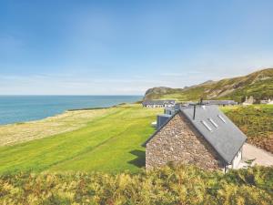
Walkers from around the world come to enjoy the 186-mile (300km) Pembrokeshire Coast Path, drawn by Britain’s most spectacular coastal scenery. It’s easy to break down into smaller chunks, thanks to a nifty coastal bus service. Less well-known is Pembs’ mountainous hinterland: try the mystical sounding Golden Road over Preseli, a Neolithic highway along the hills from which Stonehenge’s bluestones were hewn.


Walking the Gower Peninsula
In many ways, the Gower Peninsula is Pembrokeshire’s mini-me. It’s got spectacularly varied coastal walks: the south is all cliffs-and-coves, while the north is saltmarsh-and-seclusion – with an ancient spine of moorland called Cefn Bryn in between.

Carmarthenshire walking trails
Wales’ lushest landscapes are in Carmarthenshire, the farming heartland of West Wales. The county is neatly bisected by the Tywi Valley, with the vast Brechfa Forest on one side and the handsome profile of the Black Mountain on the other.


Walking holiday providers in West Wales
southSouth Wales
Walking in the South Wales Valleys
Of all the places to walk in Wales, the South Wales Valleys are the most underrated (at least, by visitors; locals know just how good they are). Rivers rise in the Bannau Brycheiniog (Brecon Beacons), and cut a series of deep valleys as they flow south to the sea. Their names became famous during the Industrial Revolution: Rhondda, Taff, Rhymney, Sirhowy, Ebbw. The collieries are gone, but the mining villages remain ribboned along the valley floors. What’s astonishing is how quickly the valleys have re-greened: the steep sides are thickly wooded, and crowned by ridge-tops of untouched moorland.
South Wales accommodation


Trails around the Wye Valley and Glamorgan's coast
Far more well-known are the rolling rural landscapes of Monmouthshire, where Abergavenny and the Wye Valley are especially well geared up for walkers. When Cardiff folk fancy a ramble, they’ll often head out in the neighbouring Vale of Glamorgan, which has a fine stretch of Heritage Coast with an undulating farm/woodland interior.
Walking holiday providers in South Wales

Useful information
- Find safety advice for exploring Wales' National Parks and safety tips for staying safe on the Welsh coast.
- Adventure Smart Wales has plenty of advice on how to ‘make a good day better’, and we recommend you read it before planning your days out.
- Traveline Cymru is a useful public transport journey planner.
- There are a number of apps and online maps where you can to find the location of electric vehicle charging points across Wales. There's a list of electric charging points on the Transport for Wales website.
- There are electric vehicle charging points in many National Trust locations. You can charge your car while you visit a stately home or enjoy exploring a garden or beach. There are also 40 charging points at the National Library of Wales in Aberystwyth, Mid Wales.
- Help Wales become the first Refill Nation by using nearby Refill Points to fill up your water bottle before you head off. Find out more, including how to download the free Refill app to find your nearest Refill Point on the Refill Wales website.
- Download the Wales Coast Explorer app - it helps you identify wildlife, flora, explore heritage sites along the way, and record your findings.

