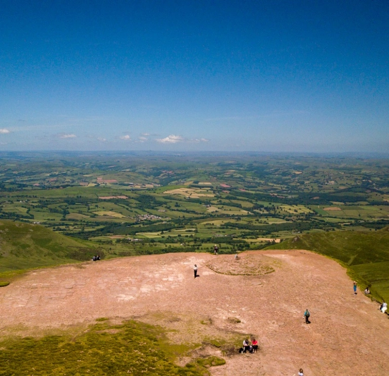
Pull on your boots and discover the wide open spaces of the Bannau Brycheiniog (Brecon Beacons) National Park with these five varied walks in this beautiful location.
Storey Arms to Pen y Fan
The Storey Arms route takes you right to the top of the highest peak in the National Park. Sounds impressive, doesn’t it? The good news is that it’s a moderate, four mile circular walk that anyone of average fitness can tackle. Just before the final ascent there are wonderful views down over the Neuadd Valley. From the summit, on a clear day, you will be rewarded with spectacular views.


Mynydd Illtud from the Visitor Centre
North of the National Park Visitor Centre at Libanus, the landscape opens out into a grassy common clad with bracken and gorse. Red kites and other raptors often soar overhead and you may also see butterflies, wheatears and larks. Several easy footpaths crisscross the common, making this a satisfying place to stroll for an hour or two.


The Beacons Circuit
The epic Beacons Circuit 11 mile circular walk takes in all the main summits and ridges of the Central Beacons. From Storey Arms, stride up to Corn Du (873m), continue to Pen y Fan (886m) and on to Cribyn (795m). Then descend via the Neuadd Reservoirs. Expect big skies when you’re up on the peaks and a real sense of achievement at the end.


Pen y Fan and Cribyn from Cwm Gwdi
Climb the highest peaks in the Bannau by the back door by taking the lesser known Pen y Fan and Cribyn from Cwm Gwdi route from the north, and you’ll see these much loved mountains in a different light. On the way up, there are great views of Cwm llwch, a textbook example of a glacial cirque. The round trip of 7.5 miles is likely to take you three or four hours.


Monmouthshire & Brecon Canal
The towpath from Brecon travels through beautiful Mid Wales scenery with views of farmland, woodland and mountains. The first stretch of the Monmouthshire & Brecon Canal, from Brecon’s Theatr Brycheiniog, is a pleasant, pushchair-friendly stroll with interpretation boards and a picnic area. If you keep going, 35 miles later you’ll reach the end of the canal at Pontymoile Basin.


Useful information
- Before you head out, read our safety advice for exploring Wales' National Parks.
- Adventure Smart UK has plenty of advice on how to ‘make a good day better’, and we recommend you read it before planning your days out.
- Download the Y Marilyns app – find a recommended starting point a short route description and background information for Welsh hills and mountains which are 150m or more higher than the surrounding land (this is classed as a ‘Marilyn’). The app is free to download and is run by volunteers from the Relative Hills Society.
- Traveline Cymru is a useful public transport journey planner.
- There are a number of apps and online maps where you can to find the location of electric vehicle charging points across Wales, including Transport for Wales' page vehicle charging points in Wales. Several National Trust properties across Wales have EV charging points.
- Help Wales become the first Refill Nation by using nearby Refill Points to fill up your water bottle before you head off. Find out more, including how to download the free Refill app to find your nearest Refill Point on the Refill Wales website.


