About Fforest Fawr UNESCO Global Geopark
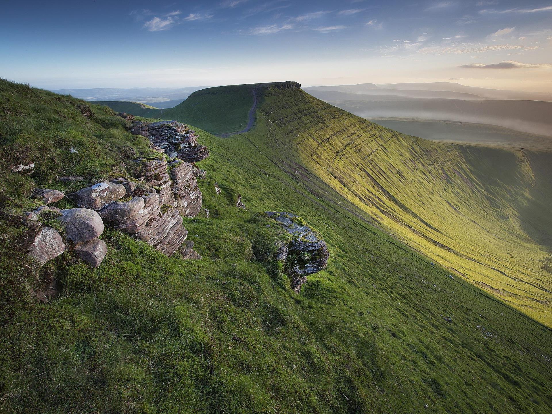
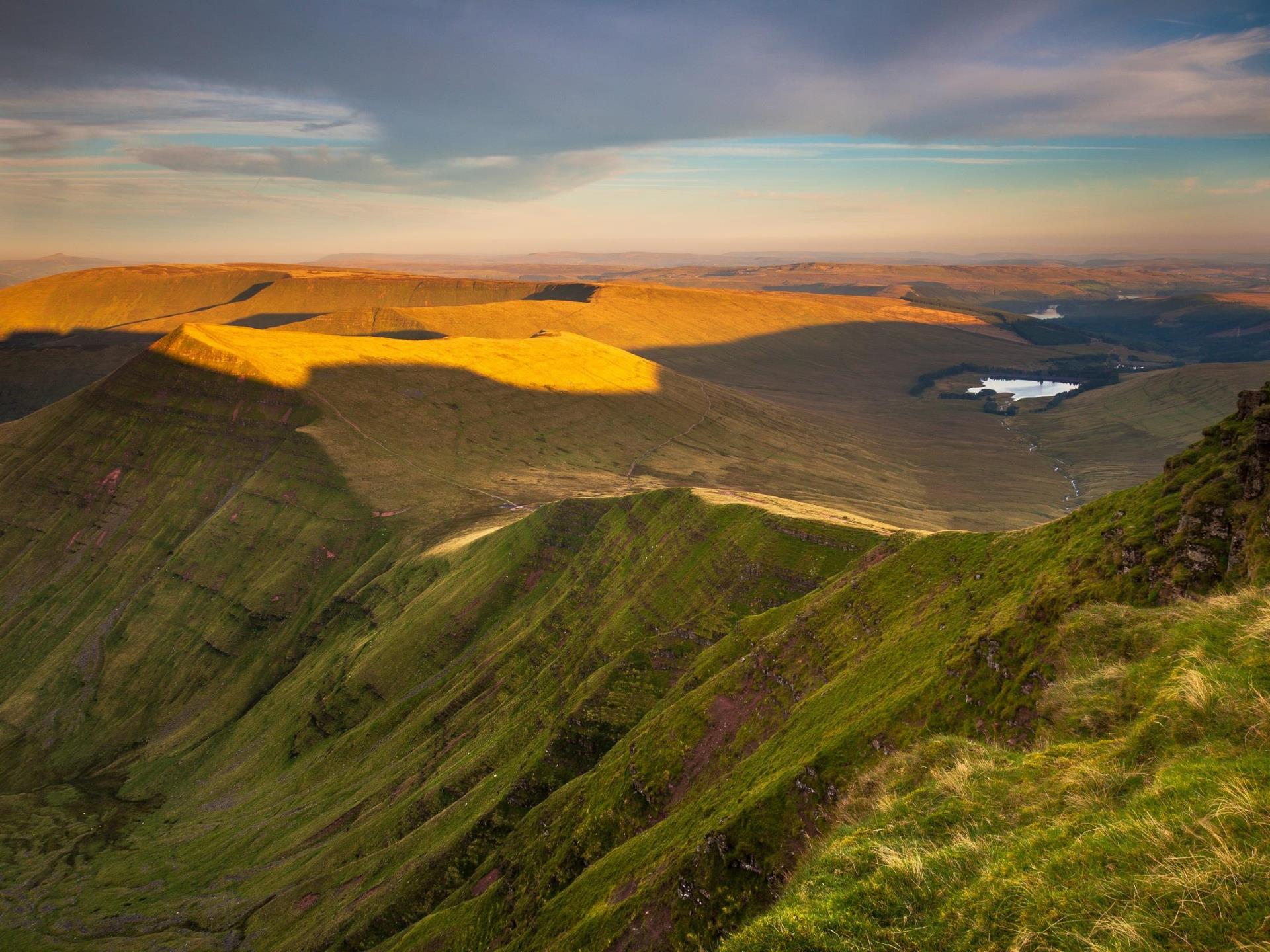
The Fforest Fawr UNESCO Global Geopark is located in South Wales, UK, and covers the western half of the Brecon Beacons National Park. Designated a UNESCO Global Geopark in 2015, it was the first in Wales and is one of around 150 worldwide. A cracked and crumpled layer-cake of rocks 470 million years in the making, the Geopark is a spectacular landscape carved by ice and shaped by man with many stories to tell.
The Geopark has some of the most stunning natural and man-made attractions in Wales, including the breath-taking Carreg Cennen Castle, the Victorian Garden at Craig-y-nos Country Park, the wilderness lonely expanse of the Black Mountain, Pen y Fan (the highest mountain in southern Britain), the Brecon Mountain Railway and the National Park’s reservoirs, rivers and waterfalls.
Three mountain ranges make up the centre of the Geopark providing a variety of terrain to explore. The popular Brecon Beacons, also known as the Central Beacons sit on the Geopark’s eastern boundary. The Fforest Fawr Massif is the middle mountain range and the Geopark’s namesake, and to the far west is the quieter, wilder, Black Mountain range.
The landscape was carved into the distinctive shapes seen today during the Ice Ages of the last 2 million years, the last glaciers melting away only 11,500 to 12,000 years ago. Snow and ice collected on north facing slopes, developing into glaciers and gouging away the rock, creating steep slopes and the valleys below. At Craig Cerrig-gleisiad and Fan Frynych National Nature Reserve stand in the atmospheric natural amphitheatre created by a glacier. Take binoculars to spot some of the many birds that use the reserve and arctic-alpine plants that live on the craggy northern slopes.
The Geopark is also about people. People have been making use of rocks here for thousands of years - from the mysterious standing stones of our distant ancestors to Iron Age hill forts, Roman roads and Norman castles. The rich culture of the Geopark’s early inhabitants comes to life in myths and legends linked to wooded valleys, caves, lakes and misty mountain tops.
Quarries, limekilns, tramroads, canals, coal and silica mines reflect a period in which the Geopark’s geological resources were exploited for metal production in south Wales. The mineral riches of coal, silica rock, rottenstone and limestone played a vital role in the early industrial development of South Wales, a region whose manufacturing output led to the world. The geosites of Penwyllt and Cribarth were once bustling with industry, yet these days they are weathered and quiet relics of an industrial age and an integral part of the modern Geopark’s beautiful and dramatic landscape.
Today Fforest Fawr UNESCO Global Geopark provides a wide variety of recreational opportunities. Both lowland and upland walks, cycling routes, water sports, horse riding, caving and much more.
Visitors can find information, purchase maps and guides to walks and geotrails from the National Park Visitor Centre in Libanus as well as other information points in Brecon and Llandovery.
Towards the end of 2019 a new Geopark Discovery Point will be open at Craig-y-nos Country Park in the Upper Swansea Valley, a great place to plan your journey into the Geopark.
The Geopark is open all year around.


